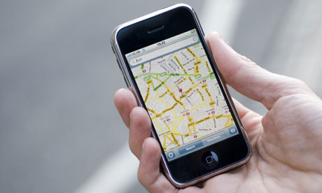
One of the main attractions of an iPhone, for me, was the thought of using it as a cycling satnav. First, I found the piece of kit I needed – an iPhone bike-mount, which holds the handset in a kind of plastic vice – at a price I liked: £20 on eBay. The whole lot then clips firmly on to a mounting on the handlebars, padded to protect everything against vibration. It still takes a bit of a battering on bumpy roads, but so far my phone seems to have emerged unscathed.
The next issue was which app I was going to use. You could make do with the inbuilt Google maps, but following that little blue dot while coping with traffic isn't really feasible, so I bought the £19.99 CoPilot Live app over the more high-profile £49.99 TomTom. It works pretty well, with a clear 3D display which is easy to see, even in bright sunlight. There's a cycle mode, which is pretty savvy about cycle paths and bike shortcuts. In theory you can even tell it to avoid main roads, although it doesn't seem to make a lot of difference for journeys around central London. You can search for your destination using postcodes, addresses or via the map, and there's also a pretty comprehensive list of major landmarks.
Oh for a rotation lock, though! When you're throwing your bike around, the display does flip upside down, which is enraging. And it does pick some pretty eccentric routes, displaying a particular penchant for touring south London council estates. (I've heard, anecdotally, that the TomTom's algorithm for route-planning is better.) It's also a bit on the sluggish side – although that may be because I'm using a geriatric iPhone 3G – which can present something of a problem on winding backstreets. And of course, the first sign of rain and the whole game is off.
More recently, I've been using Fullpower-MotionX's simpler MotionX app, which gives you a compass and an arrow pointing in the direction of your destination, with the cyclist deciding the actual route. If you want a bit more freedom and you're not in a particular hurry, it's a great alternative.
Given satnav companies' obsession with keeping motorists up to date on, say, speed cameras, it would be nice to see a few more bike-friendly options. How about telling us where the nearest set of racks to our destination are, for example? Or maybe a directory of cycle shops and repair centres?
What are your tips and tricks for urban satnaving? And what features would you like to see on the next generation of apps?
• This article was amended on 28 June. The original version mistakenly said that Garmin manufactures the MotionX app. This has now been corrected.

